Planning and property
Decatur 3D
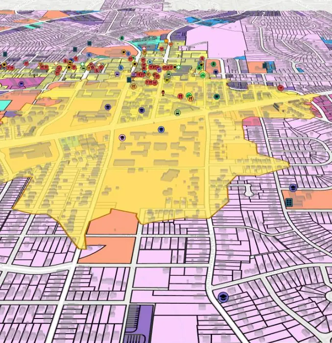
The whole city in three dimensions. Zoning, buildings and amenities share one map, dashboards update as you move, and a guided tour steps through Center, North, East and Decatur ANX.
City of Decatur, Georgia
Zoning, parks, public art, street cleaning and eighty years of aerial history, in eight interactive maps that work on any phone or laptop.
Open any map right here, share a link to it, or embed it on a City page. Every map is live, so you can zoom, filter and click on anything you see.
8 maps
Planning and property
The whole city in three dimensions. Zoning, buildings and amenities share one map, dashboards update as you move, and a guided tour steps through Center, North, East and Decatur ANX.
Planning and property
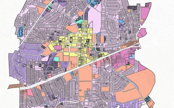
Look up the zoning of any of the City's 8,553 parcels and filter by district, from single-family R-60 to Mixed Use.
City services
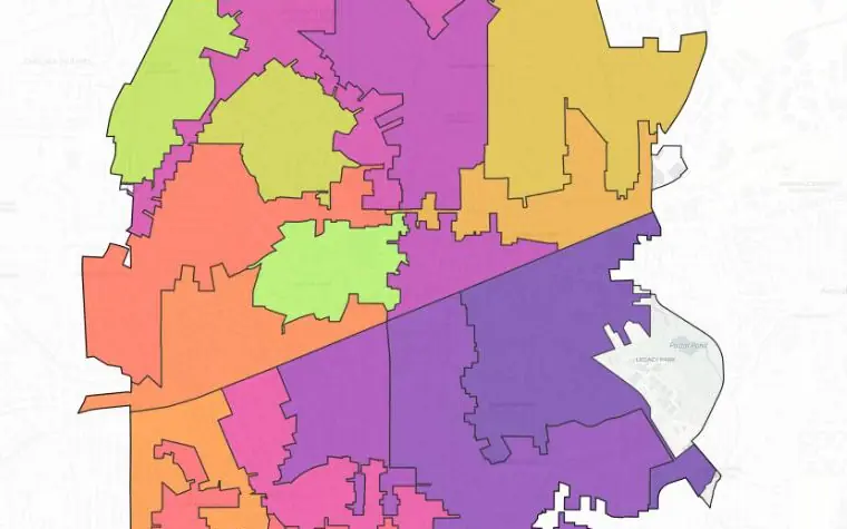
Find the day your street is swept. The city is split into 20 schedule zones, from the first Monday of the month to the late Thursday night run.
Arts and history
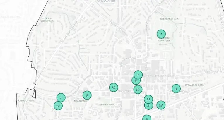
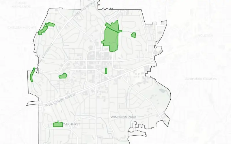
A self-guided tour of 14 landmarks, including the Old DeKalb County Courthouse, the Decatur Railroad Depot and Agnes Scott College.
Arts and history
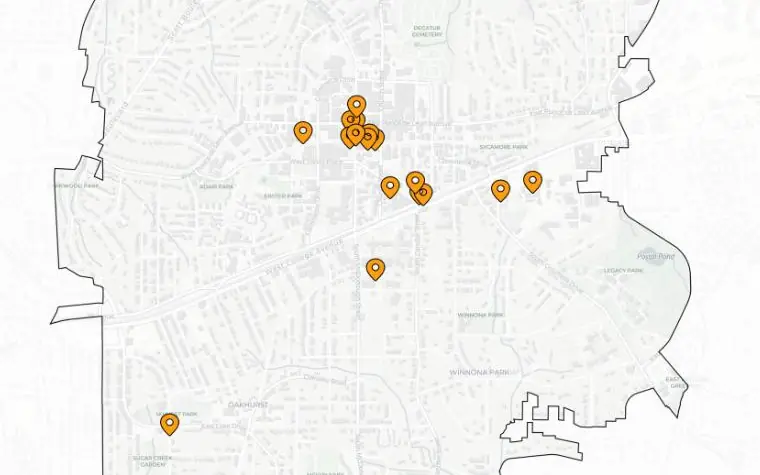
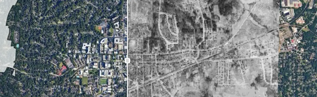
Drag the divider between 1940 aerial photos and today's imagery to see how downtown and its neighborhoods have changed.
No maps match your search.
Each map opens on the answer people come looking for, then lets them dig into the detail.
Every map runs in the browser and responds to touch. Nobody needs an app or an account.
Guided tours step through the Square, North, East and Decatur ANX, or through 14 historic buildings one at a time.
Zoning mix, housing types and nearby amenities recalculate for whatever part of the city is on screen.
Any map can be placed on a City web page with one line of embed code, and it stays up to date there.
GISCARTA prepared this page to show the City of Decatur what a modern map portal could look like. The eight maps on it are live today and can be opened, shared or embedded. This is a proposal, not a replacement for the City's current GIS portal.